


Earthquake Scenarios
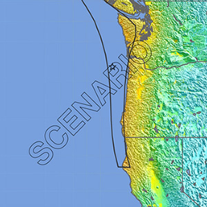
A scenario represents one realization of a potential future earthquake by assuming a particular magnitude, location, and fault-rupture geometry and estimating shaking using a variety of strategies.
In planning and coordinating emergency response, utilities, local government, and other organizations are best served by conducting training exercises based on realistic earthquake situations—ones similar to those they are most likely to face. ShakeMap Scenario earthquakes can fill this role. They can also be used to examine exposure of structures, lifelines, utilities, and transportation corridors to specified potential earthquakes.
A ShakeMap earthquake scenario is a predictive ShakeMap with an assumed magnitude and location, and, optionally, specified fault geometry.
-
Scenario Catalogs
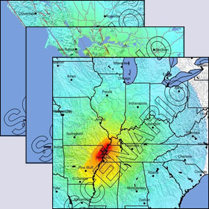
Map and list of scenarios determined using the 2014 National Seismic Hazard fault database.
-
Related Scenarios and Exercises
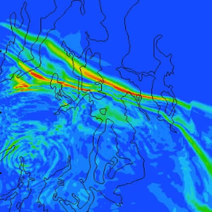
Related scenario efforts include ongoing and past ShakeOut exercises, drills, and 3-D simulations.
ShakeMap Scenario Documentation
Current ShakeMap Documentation
Scenario ShakeMaps may have been generated using previous versions of
the ShakeMap software.
