Station US MNTX
Cornudas Mountains, Texas, USA
US MNTX commences operations on: 2003,149
| Host | – |
|---|---|
| Network | US |
| Latitude | 31.6985 |
| Longitude | -105.3821 |
| Elevation | 404 |
| Datalogger | Q330 |
| Broadband | Pending |
| Accelerometer | Pending |
| Telemetry Status at the NEIC | Pending |
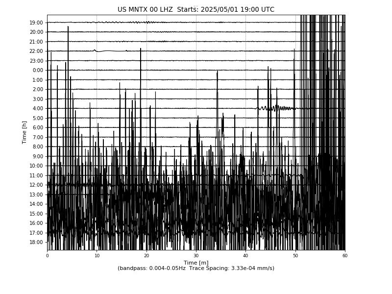
Heliplot