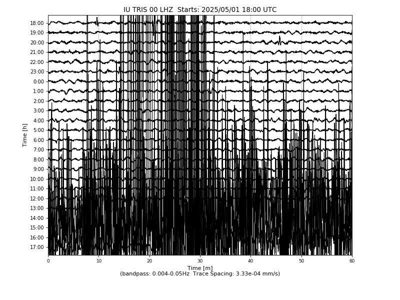
Station IU TRIS
Tristan da Cunha
IU TRIS commences operations on: 2004,063
| Host | British Geological Survey |
|---|---|
| Network | IU |
| Latitude | -37.0681 |
| Longitude | -12.3152 |
| Elevation | 60 |
| Datalogger | Q330-HR |
| Broadband | Pending |
| Accelerometer | Pending |
| Telemetry Status at the NEIC | Pending |
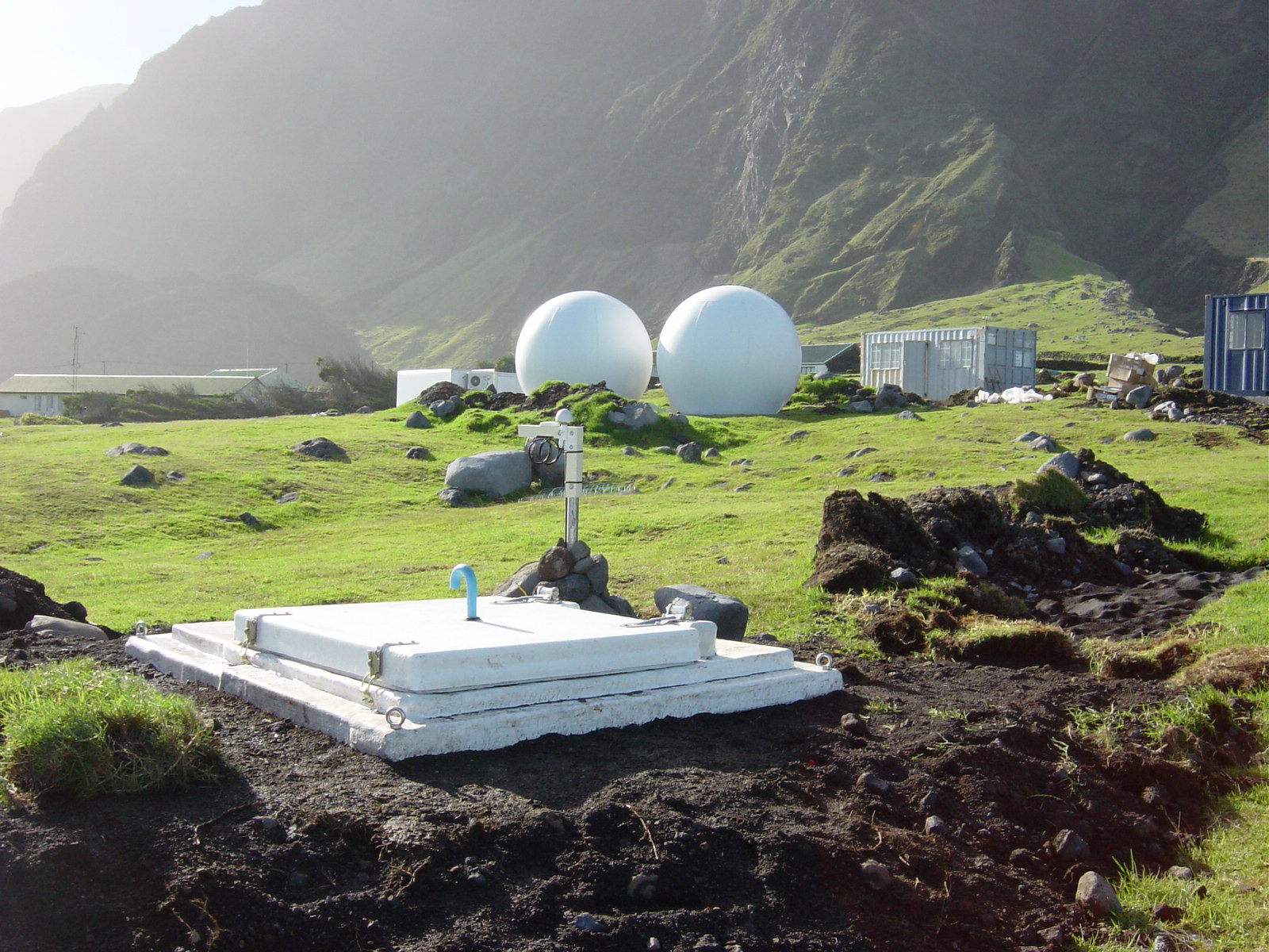
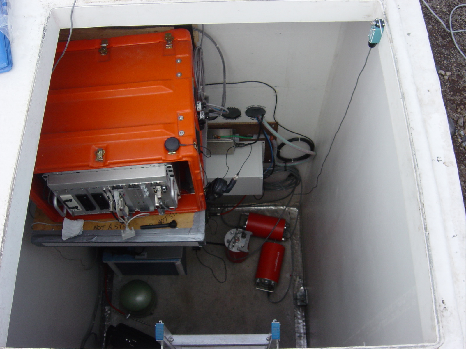
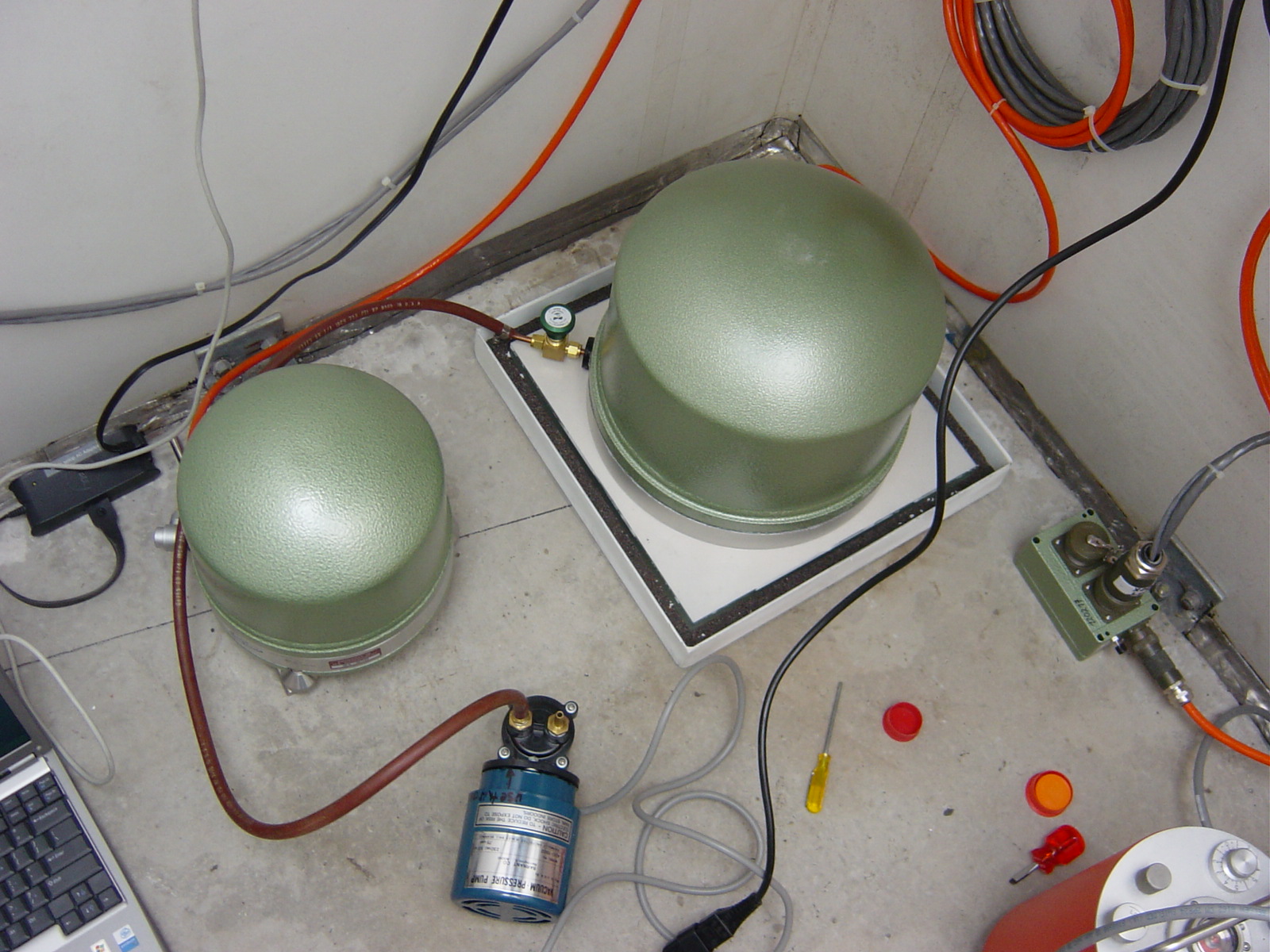
Site
Heliplot