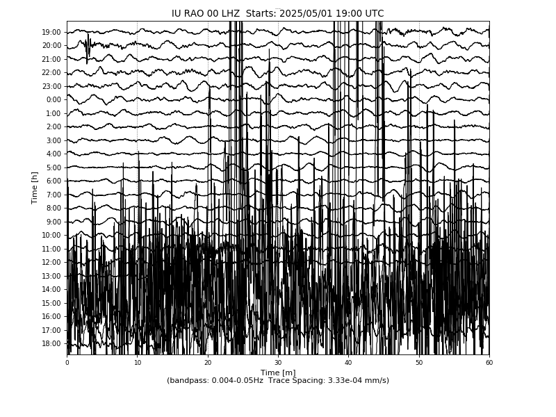
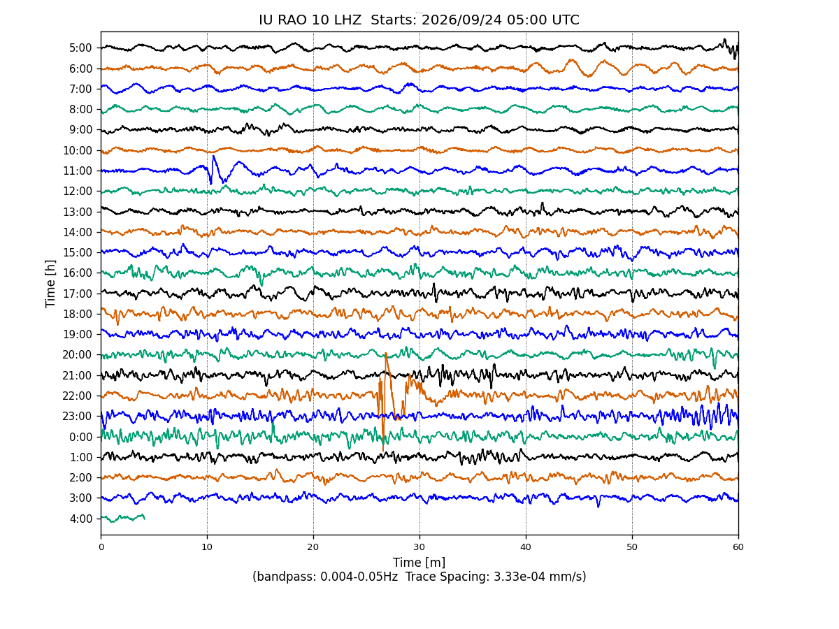
Station IU RAO
Raoul, Kermadec Islands
IU RAO commences operations on: 2004,200
| Host | Institute of Geological and Nuclear Sciences |
|---|---|
| Network | IU |
| Latitude | -29.245 |
| Longitude | -177.929 |
| Elevation | 60 |
| Datalogger | Q330-HR |
| Broadband | Pending |
| Accelerometer | Pending |
| Telemetry Status at the NEIC | Pending |
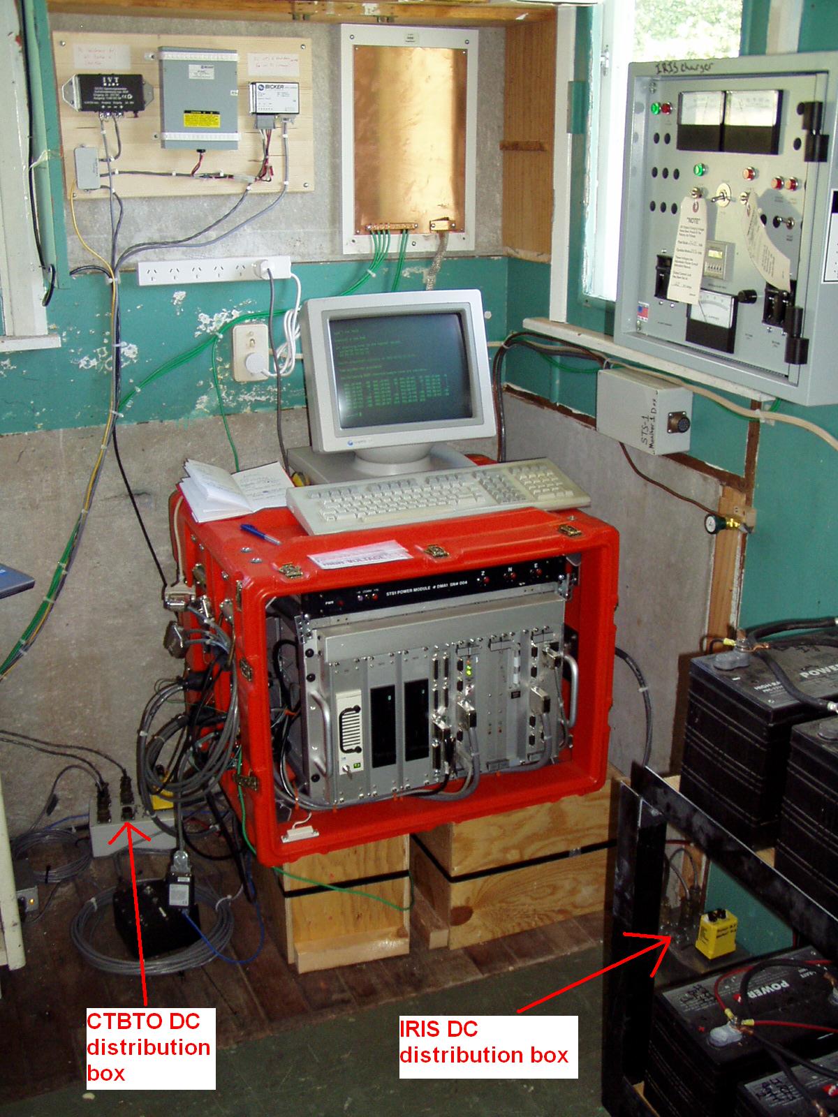
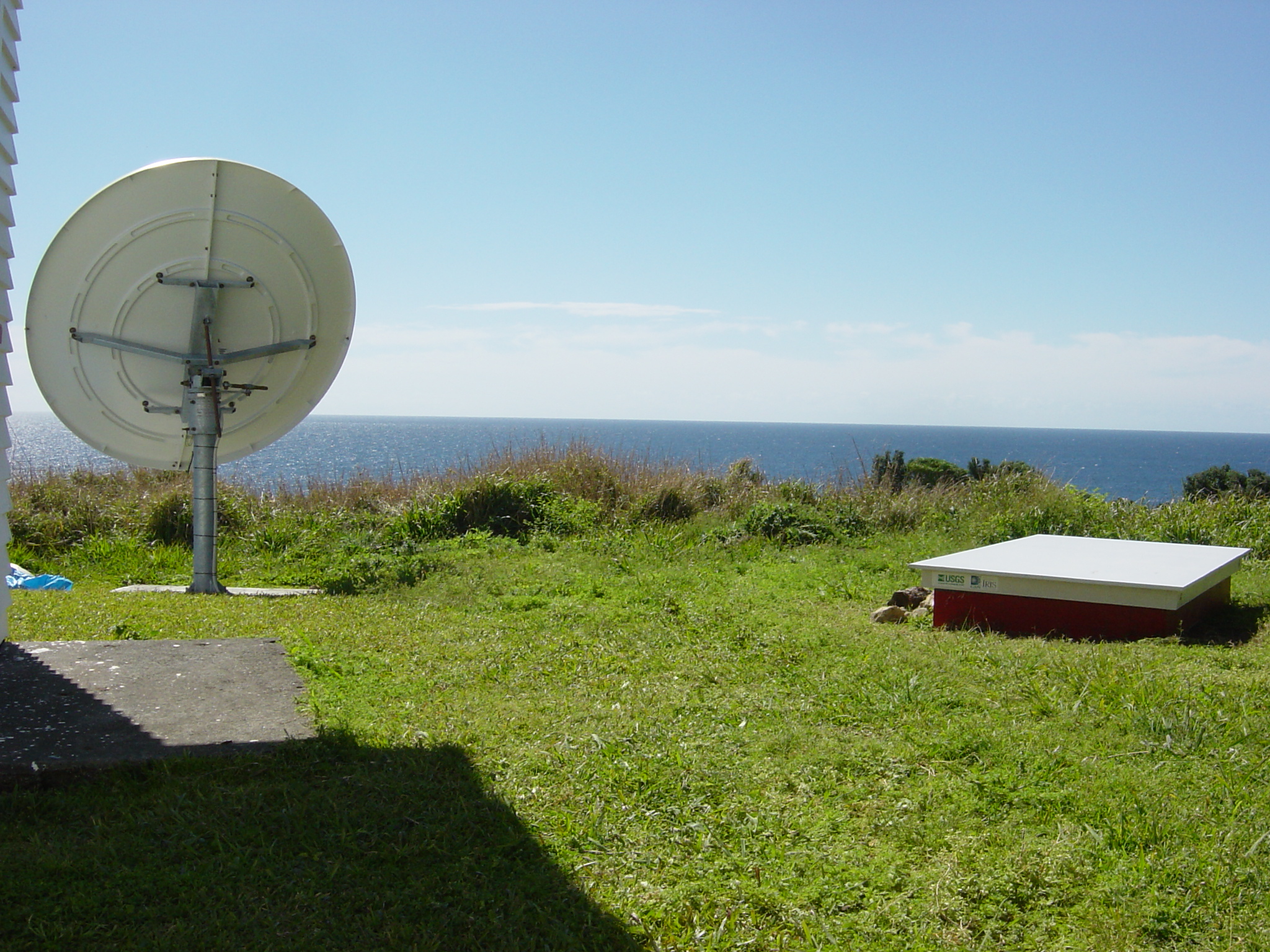
Site
Heliplot