Station II DGAR
Diego Garcia, Chagos Islands, Indian Ocean
II DGAR commences operations on: 2004,022
| Host | – |
|---|---|
| Network | II |
| Latitude | -7.4121 |
| Longitude | 72.4525 |
| Elevation | 1 |
| Datalogger | – |
| Broadband | Pending |
| Accelerometer | Pending |
| Telemetry Status at the NEIC | Pending |
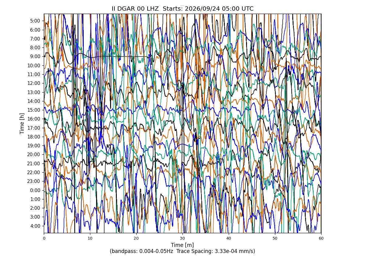
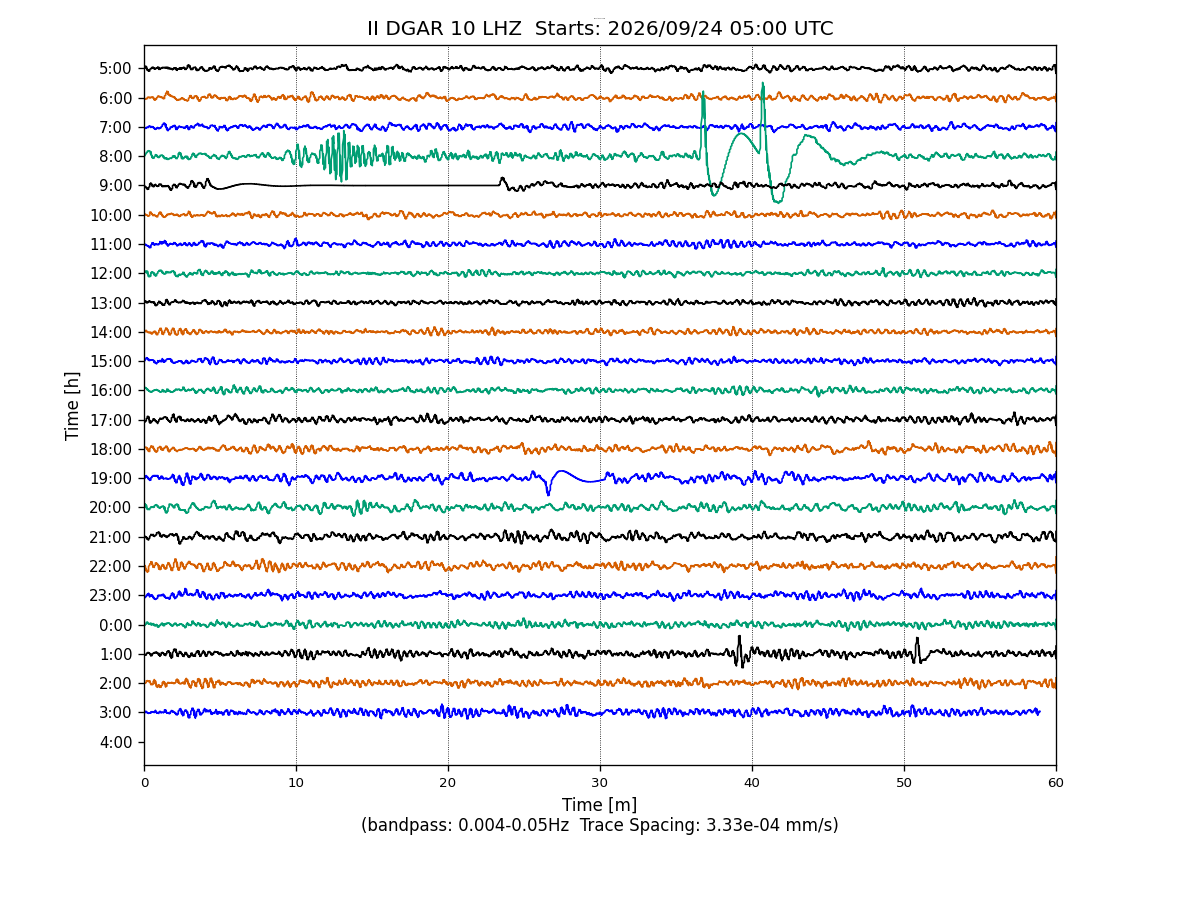
Heliplot