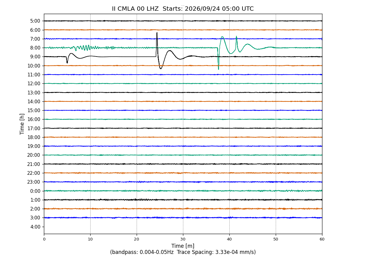
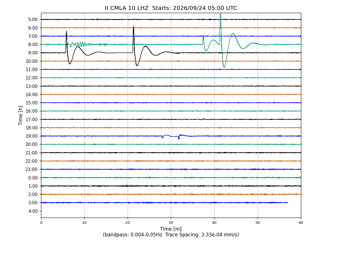
Station II CMLA
Cha de Macela, Sao Miguel Island, Azores
II CMLA commences operations on: 1996,070
| Host | – |
|---|---|
| Network | II |
| Latitude | 37.7637 |
| Longitude | -25.5243 |
| Elevation | 429 |
| Datalogger | – |
| Broadband | Pending |
| Accelerometer | Pending |
| Telemetry Status at the NEIC | Pending |
Heliplot