Earthquake Information Products
Seconds to a few minutes after an earthquake, seismic networks operated by the USGS and /or regional
partners report earthquake magnitude and location to ENS. This cooperative system is collectively operated
as the USGS Advanced National Seismic Network (ANSS).
In the next few minutes, other programs analyze the earthquake and other available information, and develop specialty reports about estimated shaking intensity, shaking impact, and potential aftershocks. ENS receives these reports and distills them into messages for ENS subscribers.
ENS can send you text-format summary messages for any or all of these products.
In the next few minutes, other programs analyze the earthquake and other available information, and develop specialty reports about estimated shaking intensity, shaking impact, and potential aftershocks. ENS receives these reports and distills them into messages for ENS subscribers.
ENS can send you text-format summary messages for any or all of these products.

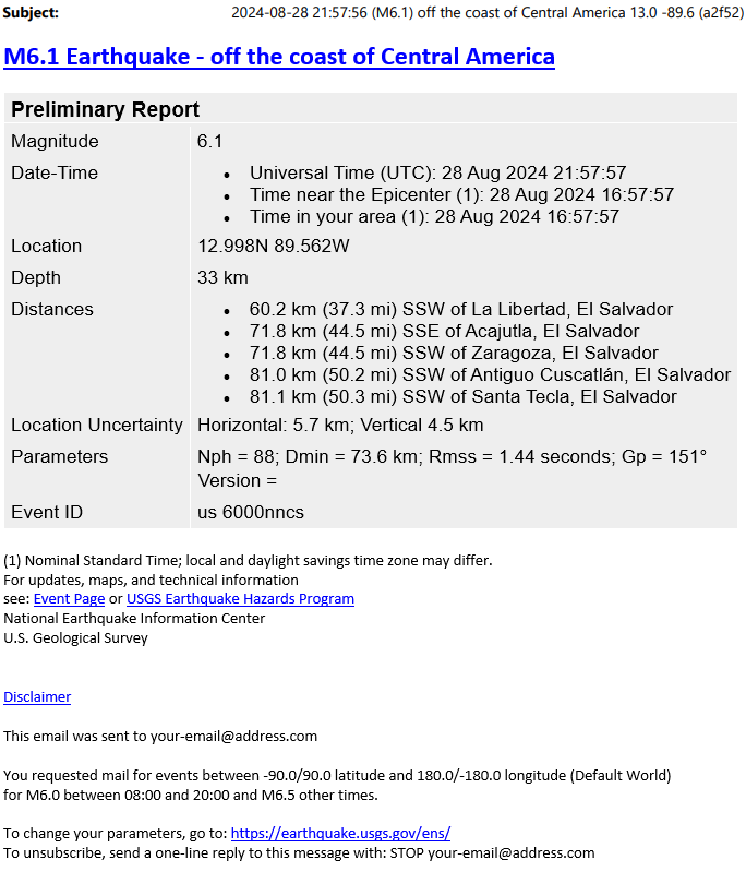
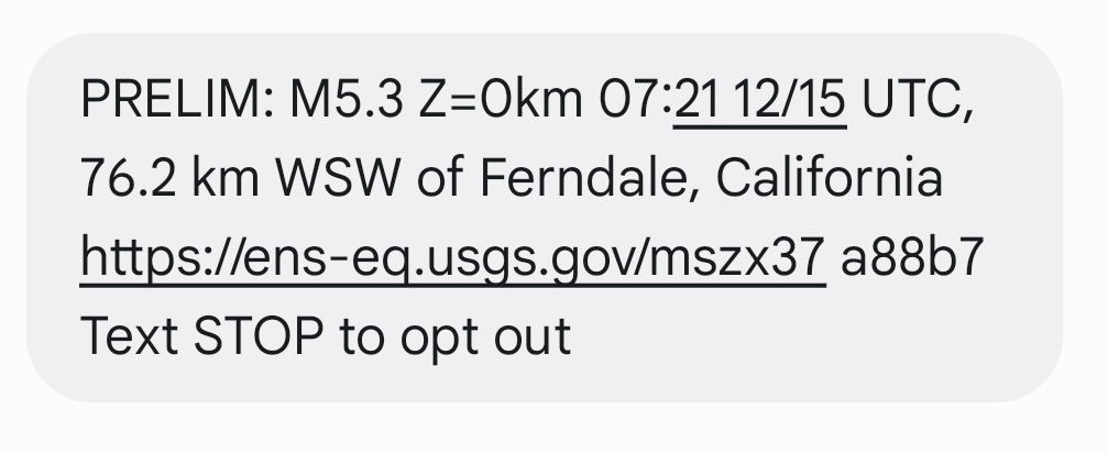
- Event Report - magnitude and location
- Earliest available report of earthquake occurrence.
- Contains earthquake time, location, magnitude and list of nearby cities or features.
-
Delivered normally 5 to 15 minutes after U.S. earthquakes,
and 10 to 20 minutes moderate and large earthquakes elsewhere in the world. - Settings:
- Earthquake magnitudes.
- Notification hours, for example, to only message during waking hours.
- Destination email or email-to-SMS address
- Message format, either email or short message.
- Detailed instructions
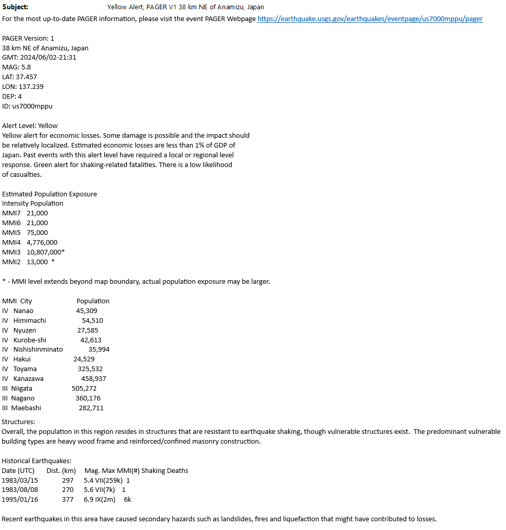
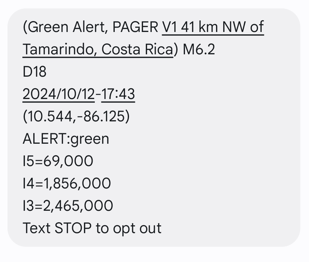
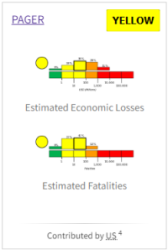
- PAGER Summary - Estimated impacts to people and property
- Preferred report for users who need a compact estimate of anticipated earthquake consequences.
- Content produced by the PAGER (Prompt Assessment of Global Earthquakes for Response) Project.
- Delivery normally 20-40 minutes after an earthquake.
- Available for most M4+ earthquakes in the U.S. and M5+ elsewhere in the world.
- Subscribers can expect a few messsages per week on average.
- Settings:
- Threshold for sending, defined by earthquake magnitude, Modified Mercalli Shaking Intensity, or the PAGER-specific Earthquake Intensity Scale.
- Destination email or email-to-SMS address
- Example message formats: email PAGER report or short PAGER report.
- Detailed instructions
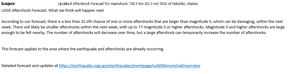
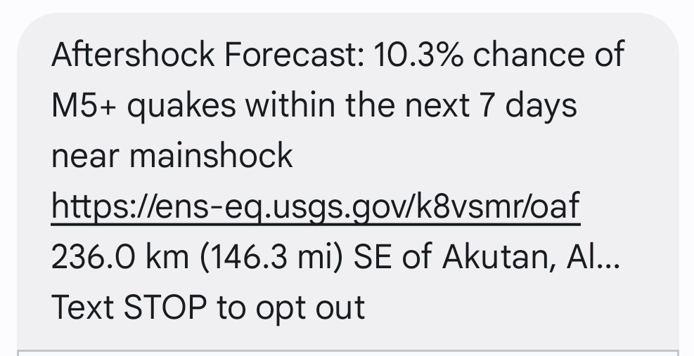
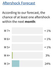
- Aftershock forecasts - what could come after a large (U.S.) earthquake
- The Aftershock Forecast Project produces forecasts for earthquakes in the continental U.S. with mainshocks with magnitudes of 4.0 or greater and magnitudes of 5.0 or greater elsewhere in the U.S. and its territories.
- Select the Aftershock Forecast product to get a summary of probabilities of aftershocks by magnitude.
- The first message is delivered about 30 minutes after the Event report, with one update after four hours.
- Typically 1 to 3 messages per week.
- Settings:
- Destination email or email-to-SMS address
- Example Aftershock Forecast message formats: email Aftershock report or short Aftershock report.
- Detailed instructions
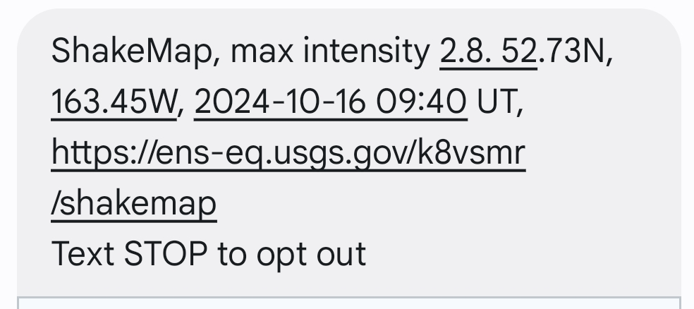
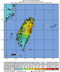
- ShakeMap Text Summary - peak shaking intensity
- ShakeMaps are typically produced for M 3.5+ earthquakes domestically, and for M 5.5+ or notable earthquakes elsewhere in the world.
- ENS reports a brief summary, not the map itself.
- ShakeMaps become available 5 to 10 minutes after the Event Report.
- Some users will find that the PAGER report better meets their needs. The PAGER report summarizes the ShakeMap, plus includes impact information.
- Select the ShakeMap product if you have particular need to know when a new ShakeMap becomes available for an earthquake in your region.
- Settings:
- Destination email or email-to-SMS address
- Example ShakeMap summary message formats: email ShakeMap report or short ShakeMap report.
- Detailed instructions
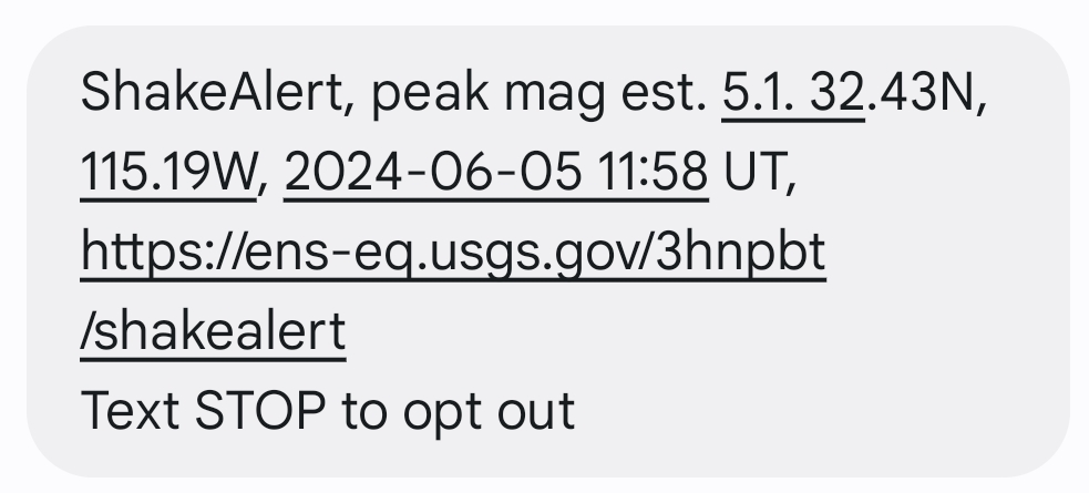
- ShakeAlert® - Performance Report
- If the ShakeAlert® earthquake early warning system activates for an earthquake, minutes later ENS will receive a system performance report.
- ENS sends subscribers a short text summary when ShakeAlert® releases a new performance report.
- ShakeAlert only activates if it estimates magnitude at M 4.0+ and the earthquake is in or near in California, Oregon or Washington.
- This product might interest followers of the USGS ShakeAlert® system earthquake early warning system.
- ENS messages are not helpful for protective actions.. They arrive long after shaking.
- Settings:
- Destination email or email-to-SMS address
- Example ENS ShakeAlert® performance message formats: email ShakeAlert® report or short ShakeAlert® report.
- Detailed instructions
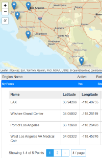
- Shaking at Points ("S@P") - shaking intensity estimate at locations you specify
- When an earthquake occurs, Shaking at Points finds user points in the ShakeMap boundary and reports shaking intensity estimate for those points.
- Enter points in advance at locations of interest.
- Save up to 20 points and configure each with a shaking threshold and notification address.
- Settings:
- Point name and location
- Active status, to include or exclude a point from notifications.
- Shaking threshold (MMI, with advanced options for PGA, PGV, SA(0.3), SA(1.0), SA(3.0))
- Destination email or email-to-SMS address, configurable per point
- Example ENS Shaking at Points report: Example Shaking at Points Message
- Detailed instructions
|
|

|
|
|
|
|
|
|
|
|
|
|
|

|
|
|
|